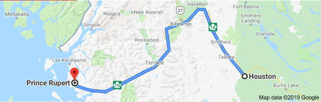
Summary –
Time of Departure: 0700h
Time of Arrival: 1500h
Distance: 411 km
The quickest way to turn a less than five-hour drive through the mountains into an eight-hour drive? Bring along a photographer.
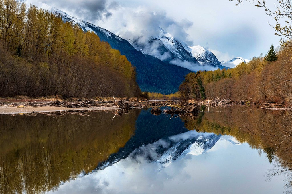
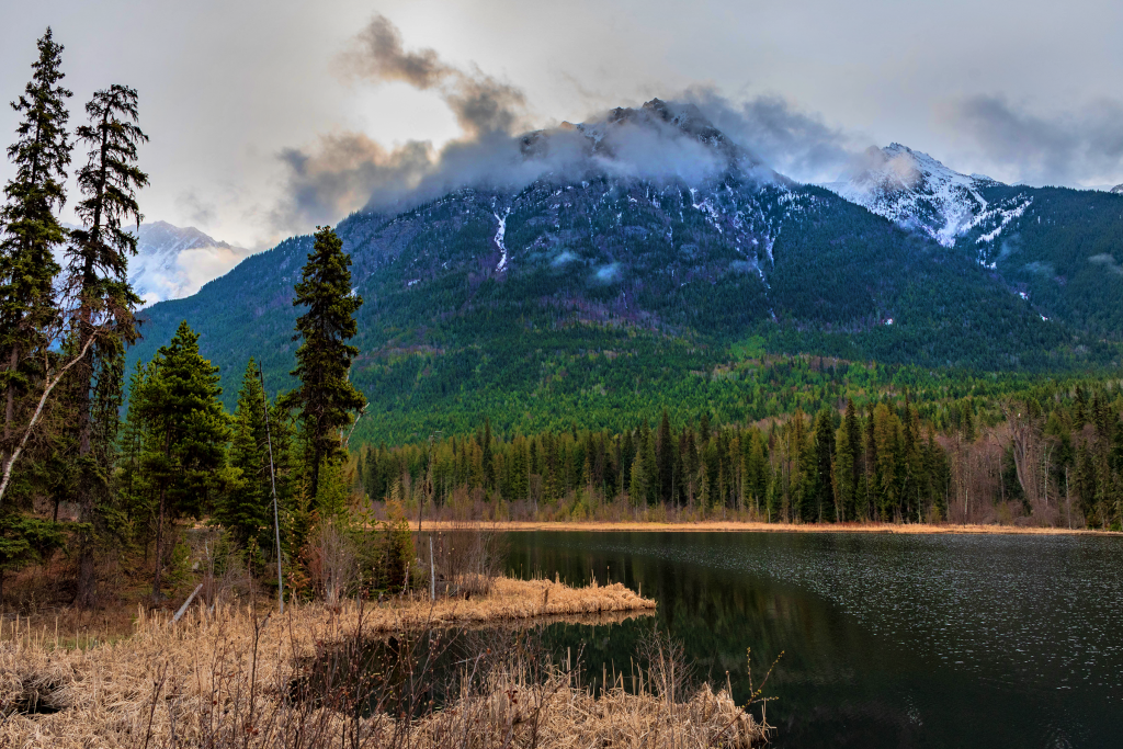
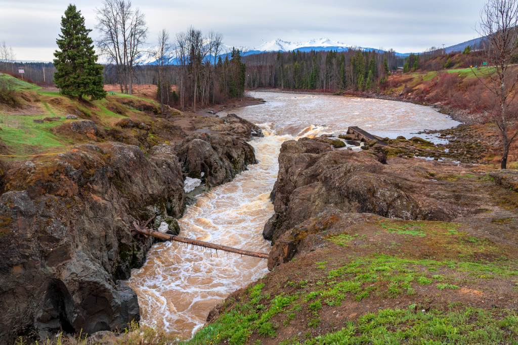
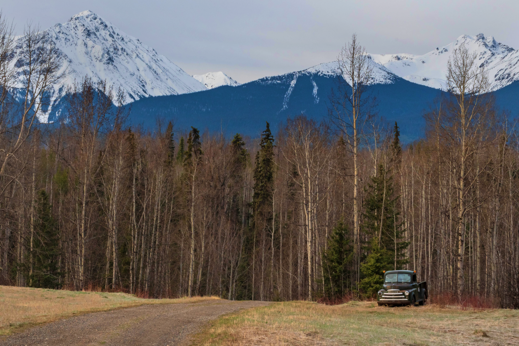
This section of the Trans-Canada starting near South Hazelton is one of the most beautiful stretches of highway I’ve had the joy of both driving and photographing.
The highway hugs the Skeena River with a wide shallow valley dividing mountains and cliffs offering spectacular views every centimetre of the route. The main challenge? Not stopping every 500 metres to take a picture.
The Skeena River is the second-longest river entirely within British Columbia, Canada (after the Fraser River). Since ancient times, the Skeena has been an important transportation artery, particularly for the Tsimshian and the Gitxsan—whose names mean “inside the Skeena River” and “people of the Skeena River,” respectively. The river and its basin sustain a wide variety of fish, wildlife, and vegetation; and communities native to the area depend on the health of the river. The Tsimshian migrated to the Lower Skeena River, and the Gitxsan occupy the territory of the Upper Skeena.
Wikipedia